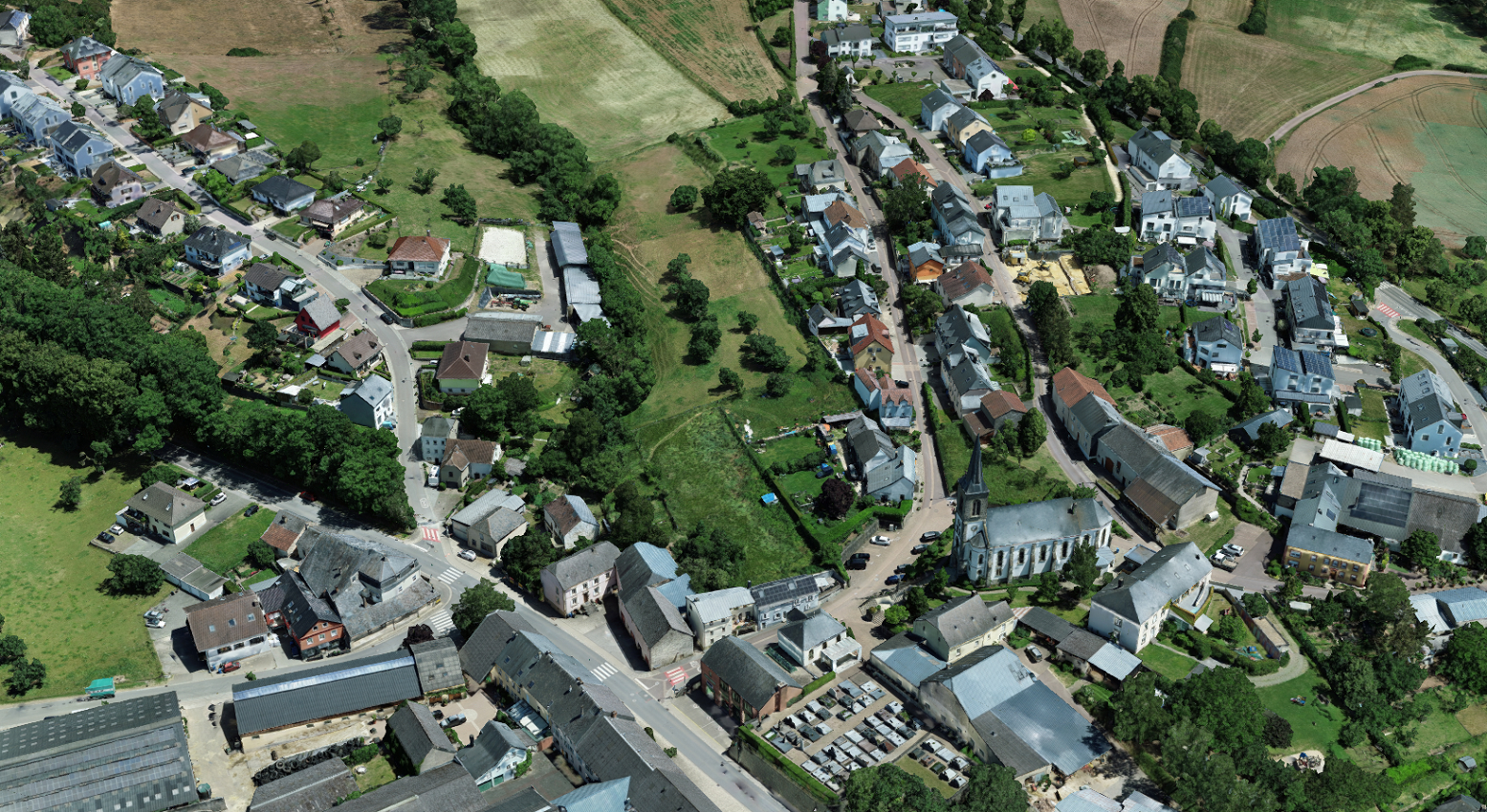
Digital TwinWe fly over your municipality or your urban planning project by plane or drone, depending on the expected resolution and the area to be covered.We can then provide either:true orthophotos: these are orthophotos based on the Digital Elevation Modelmapping of overflown areasthe 3D digital model or digital twin the area flown over Pour en savoir plus Pour avoir plus d’information, n’hésitez pas à nous contacter via notre formulaire de contact ou directement.